Read MoreRead MoreRead MoreRead More

Time is important

Wasted time and stress are twin enemies of an insurance adjuster – particularly an independent adjuster handling catastrophic claims. Effective time-management will minimize stress and maximize profits. It is not uncommon for insurance adjusters to be handed stacks of claims numbering in the hundreds. And in a catastrophic situation, each claimant wants the adjuster there yesterday. Managing expectations, multi-tasking, and using time wisely are essential to surviving the insurance claims “storm”.

Read More Contact Us

Business Solutions

If your company has suffered a loss to your property or your business has been interrupted we can help. As a business owner, it’s important to employ the services of a qualified Public Adjuster. Let us assist you with your loss. We have handled many commercial losses ranging from $50,000 to $20 Million. No claim is to large or small for our team to assist.

Read More Contact Us

Guarantee

We guarantee effective and aggressive representation. Our reputation and history of successful settlements speak for itself.

Read More Contact Us

WHY HIRE A PUBLIC ADJUSTER?

Property damage insurance claims are often complex and time-consuming. A Public Adjuster will help you assess your claim and advocate for a better settlement on your behalf. When you’re negotiating a claim with your insurance company, it helps to have someone in your corner. The insurance company has more resources, expertise, and experience, and unless you’re a seasoned insurance expert with time on your hands, you’re going to have a difficult time successfully negotiating a claim.

Read More Contact Us

Statewide Claims Weather Report

WEATHER BLOG: Rain Not From the Rainy Season

By Josh Linker

After a very dry three-week pattern to close the month of May, we have seen our share of rain so far this month. In fact, Tampa has had eight straight days of measurable rainfall.

Typically, we think of June as the start of our rainy season. But, the first 10 days of the month, even though very wet, have had weather patterns that have been a bit unusual for June.

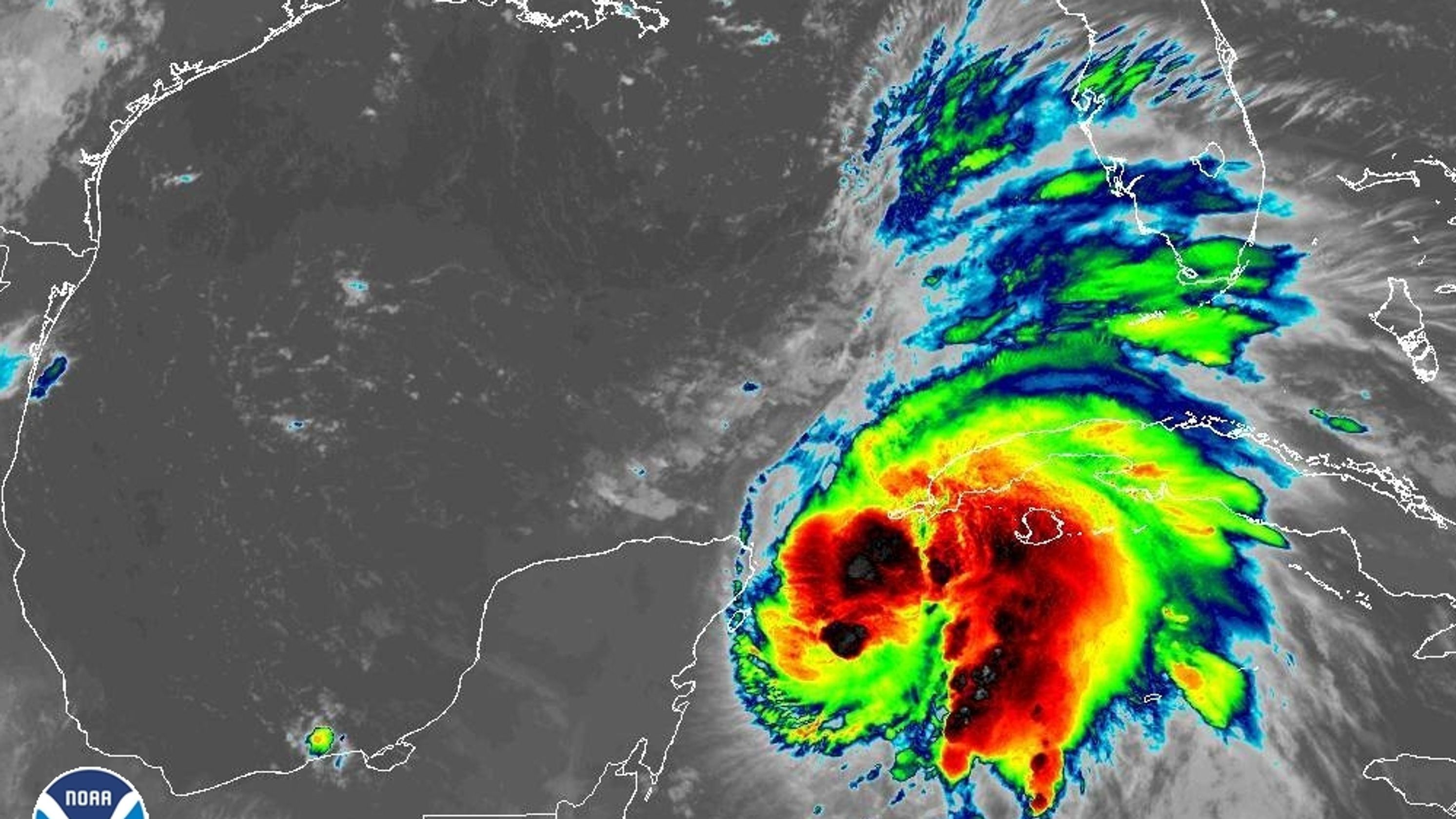
The weather pattern across the country has been more late Winter or early Spring like. A persistent dip in the jet stream over the Eastern United States has allowed active weather to occur in the Southeast, including here in Florida. With the heat and the typical June humidity, this has meant repeated rounds of showers and storms. But, these have been unrelated to what would be our normal June or Summer pattern.

Typically this time of year features an east or southeast wind flow due to a persistent high pressure located somewhere to our north or northeast. This pattern favors morning sunshine and afternoon storms.

With the heating of the day, a typical June or Summer day would start with sunny and warm mornings. Then, as we heat up, the instability will lead to cumulus cloud development, and a sea breeze forming. The sea breeze front comes inland a little bit and that front becomes the focus for our afternoon or evening storms.

Often, there are daily subtleties to the wind flow or how far in the sea breeze may come, but the general pattern remains the same.

With all of this said, looking into our forecast by late this weekend and early next week. The ridge of high pressure will build in over the Western Atlantic Ocean and set us up with the east to southeast wind pattern. This, combined with the available humidity will set us up for some typical summertime weather. None of this all day, or anytime storm stuff.

Leave a Reply

Your email address will not be published. Required fields are marked *